HARVEST AND INDUSTRY

Harvest by County Tool
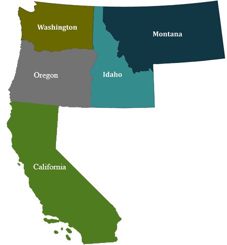
Click on a state to access county maps and display harvest totals.
Or try our new Custom Report Builder.
State links are also provided below the map.

In cooperation with the Forest Service’s Pacific Northwest Research Station, and with financial support from the Northwest Advanced Renewables Alliance (NARA) supported by the Agriculture and Food Research Initiative Grant from the USDA National Institute of Food and Agriculture, the BBER has developed a new interactive tool allowing users to access timber harvest data at the county- and ownership-level for 5 western states. Continued funding is provided by the USDA Forest Service's Forest Inventory and Analysis (FIA) program, through the Pacific Northwest and Rocky Mountain Research stations.
Making this data publicly in a central location allows elected officials, city and state governments, planners, and many others to understand how timber harvest changes over time and by ownership. These changes may have implications for policy decisions, such as securing rural schools and payments in lieu of taxes.
Timber harvest by county data is available for the five western states of California, Idaho, Montana, Oregon and Washington going back to 2002.
To access the data, click on a state below:
This project was made possible, in part, by funding from the Northwest Advanced Renewables Alliance (NARA) supported by the Agriculture and Food Research Initiative Competitive Grant no. 2011-68005-30416 from the USDA National Institute of Food and Agriculture.

